

Theodor Hilber · Senior GIS Consultant & Trainer
Making sense of geodata. Building useful GIS. Sharing knowledge.
I help organisations make good use of geodata – with spatial analysis, PostGIS databases and GIS workflows that hold up in daily work, and with training for the people who use them.
Profile
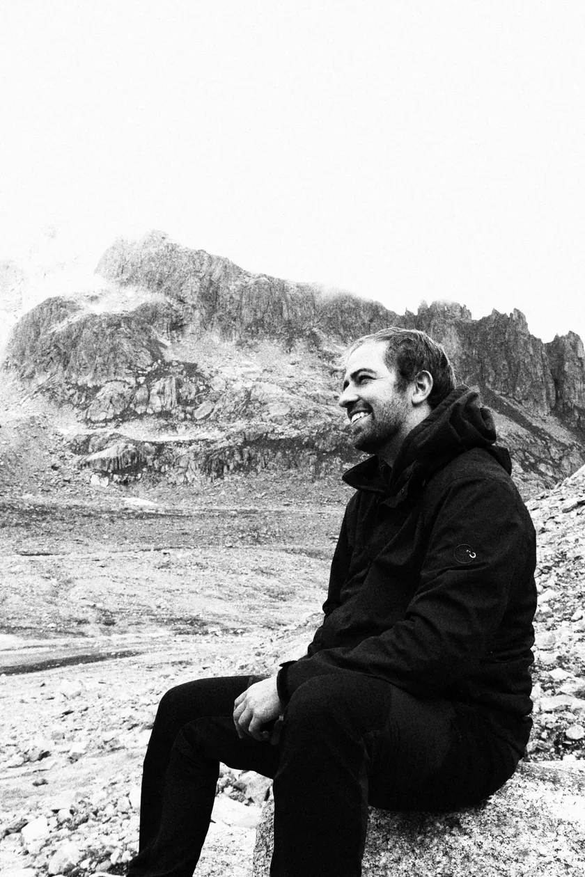
Theodor Hilber
Senior GIS Consultant & Trainer · Bern / Berlin
Since 2020 I have been advising public and private organisations at maptransfer GmbH: I lead and coordinate GIS projects, design PostgreSQL/PostGIS infrastructures and automate data workflows with Python and SQL. I have taught more than 350 course days on GIS and spatial data analysis.
Before and alongside that, I worked in research and international cooperation: at WorldPop, on projects for Swiss TPH and UNEP-WCMC, and at the Swiss Federal Office for the Environment. I studied geography at the University of Zurich and ETH Zurich (BSc) and geographic development studies at Freie Universität Berlin (MSc).
Focus
What I work on
- 01
GIS consulting & project coordination
Clarifying requirements, planning data models and workflows, and seeing projects through from the first conversation to daily operation.
- 02
Geodatabases & automation
PostgreSQL/PostGIS infrastructures connected to QGIS, with roles and permissions, and automated data workflows in Python and SQL.
- 03
Spatial analysis & cartography
Spatial and spatial-statistical methods that reveal patterns and differences, and maps that make them easy to grasp.
- 04
GIS training
More than 350 course days on GIS and spatial data analysis – so that participants can carry on by themselves afterwards.